The First Real-Time Data-Driven Land Design Platform for Permaculture, Agriculture, Homesteading, and Sustainable Property Development
How it works
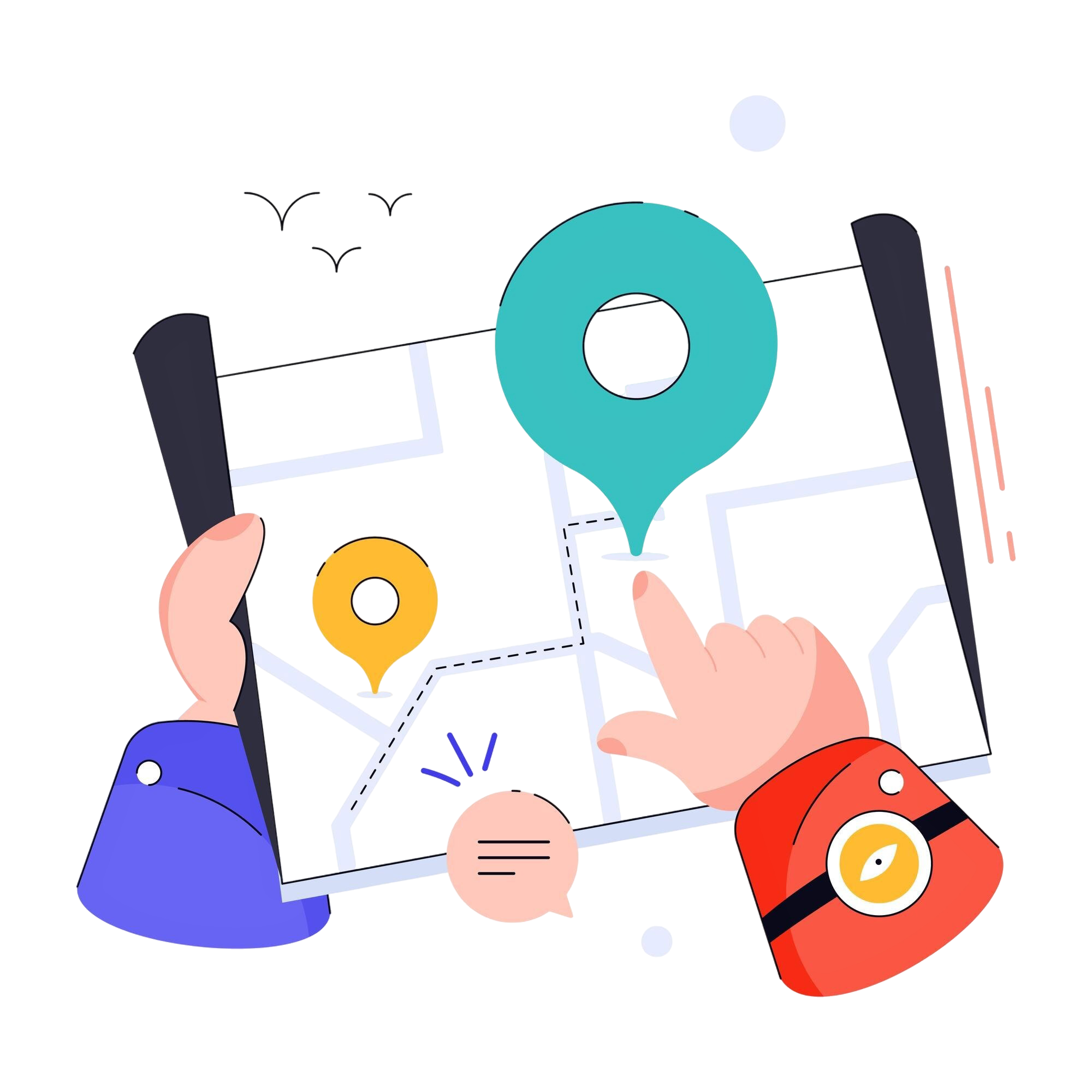
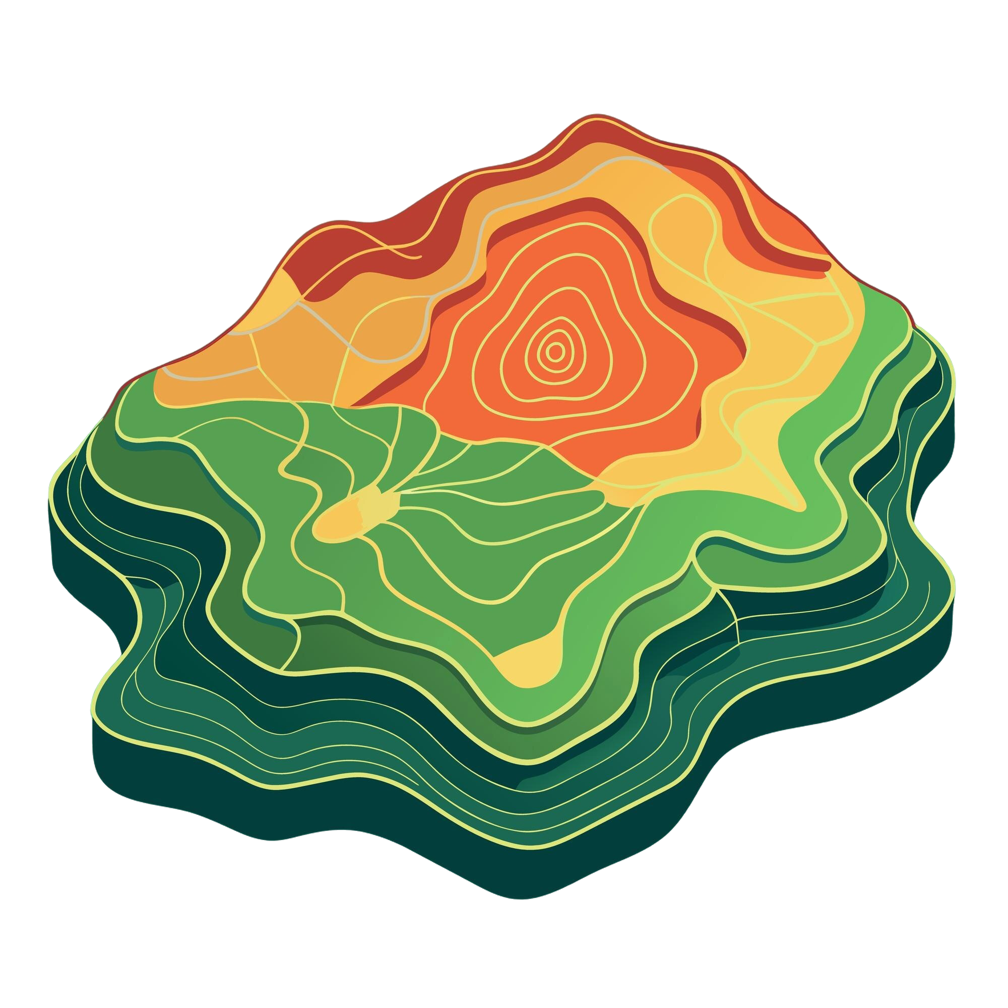
Swales works as a data-driven foundation for designing your permaculture dreams by connecting real geographic coordinates with intentional landscape planning. By using precise latitude and longitude inputs, it helps ground your vision in actual site conditions, enabling more informed decisions about sun exposure, water flow, soil behavior, and spatial relationships. Whether entered manually or captured through browser-based location detection, the data becomes a starting point for mapping and refining ecological designs. In this way, abstract ideas transform into actionable, place-based systems that align natural patterns with human intention.